|
|
Дополнительные источники информации
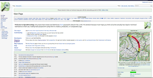
Поздравляем! Вы продвинулись достаточно далеко в освоении OpenStreetMap, теперь Вы должны хорошо ориентироваться в создании карт. Что ещё можно делать с OSM? Чему ещё нужно обучиться? Как помогать сообществу картографов? Другие разделы learnOSMВ конце этой главы в части о редакторе iD вы ознакомились с различиями между iD и JOSM. Прочтите эту статью для более глубокого ознакомления с преимуществами JOSM и реализации их с помощью редактора. Все изменения, добавленные нами на карту, были основаны на данных фоновых изображений. Но Вы также можете собирать информацию на местах - путешествуя, гуляя, по дороге на работу и пр. Раздел о мобильном картировании освещает нюансы использования различных GPS устройств и бумажных карт; также рассматриваются некоторые мобильные приложения для работы с OpenStreetMap. OpenStreetMap is a collaborative effort and we hope that you will be part of it. Some of these efforts are devoted to humanitarian relief under the auspices of the Humanitarian OSM Team. If you would like to help HOT on the occasion of a disaster such as the Nepal earthquake please see the section on coordination. It deals with the tools which make sure that many people can work together on a relatively small area in a consistent manner. It also contains guidance on some typical tasks you will frequently encounter when joining these efforts. Узнать большеThere is a lot of information about OpenStreetMap available at wiki.openstreetmap.org. Here you can find information about other projects that are related to OpenStreetMap, and documents and tutorials that can help you learn more about OSM.
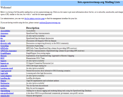
Mailing ListThe best way to get connected to the OpenStreetMap user community is to join your local mailing list. Many people sign up, using their email accounts to the OSM mailing list. Once you are on the list, you can send an email to the group if you have a question or want to talk about OpenStreetMap. To sign up for your country’s mailing list, open your internet browser and go to lists.openstreetmap.org.
Scroll down the page to find the list associated with your country. The country lists are named “Talk-lg”, where lg represents the country of that list. For example, “Talk-id” is the list for Indonesia.
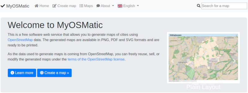
Example of OSM use - MyOSMaticOne such project is called MyOSMatic, which you can access through your internet browser at print.get-map.org. This is a simple tool for printing a map of any city you choose. It will automatically create the map, along with a grid over the map, and an index of locations that are included in the area.
Further uses of OpenStreetMap data are explained in the OSM-Data section of LearnOSM SummaryThese are some of the ways that you can use and stay connected with the OpenStreetMap community and learn more. We hope you’ll continue exploring and learning more about OSM, and contribute to the project. Happy Mapping!
Был ли данный раздел полезным?
Дайте нам знать и помогите улучшить руководства!
|


 В начало страницы